Description
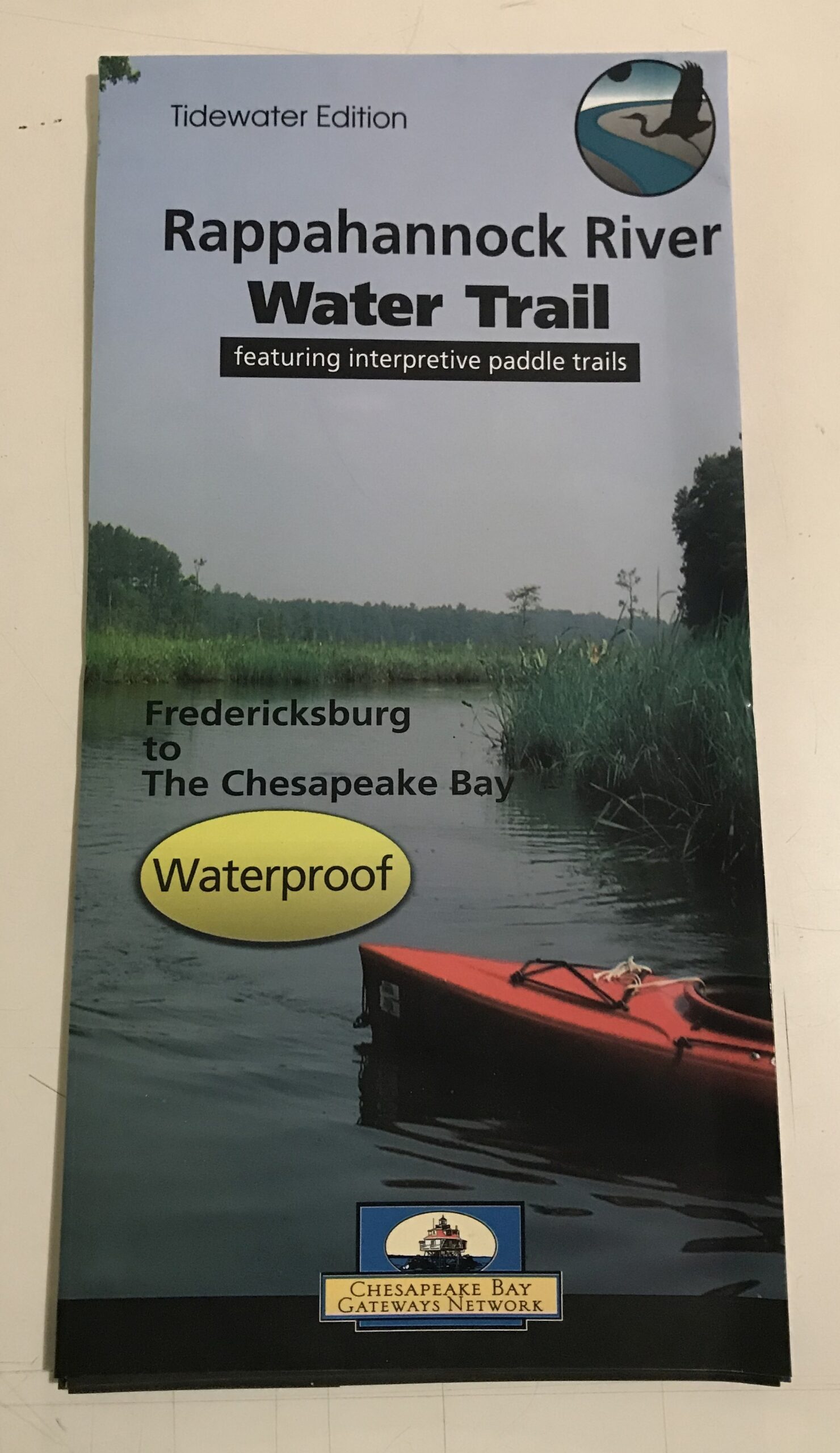
Fold-out waterproof water trail map. Covers the Rappahannock from the City of Fredericksburg to the Chesapeake Bay. Includes boat launches, navigational aids, depths, Bay Gateways Sites, and Rappahannock National Wildlife Refuge Tracts.
Highlights several interpretive paddle trails (detailed paddle trail maps available separately)


Reviews
There are no reviews yet.